
Hudson River
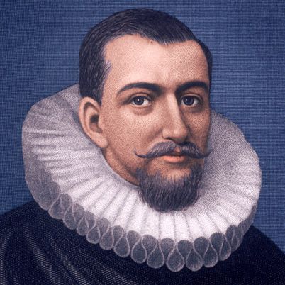
A speculative portrait of Henry Hudson
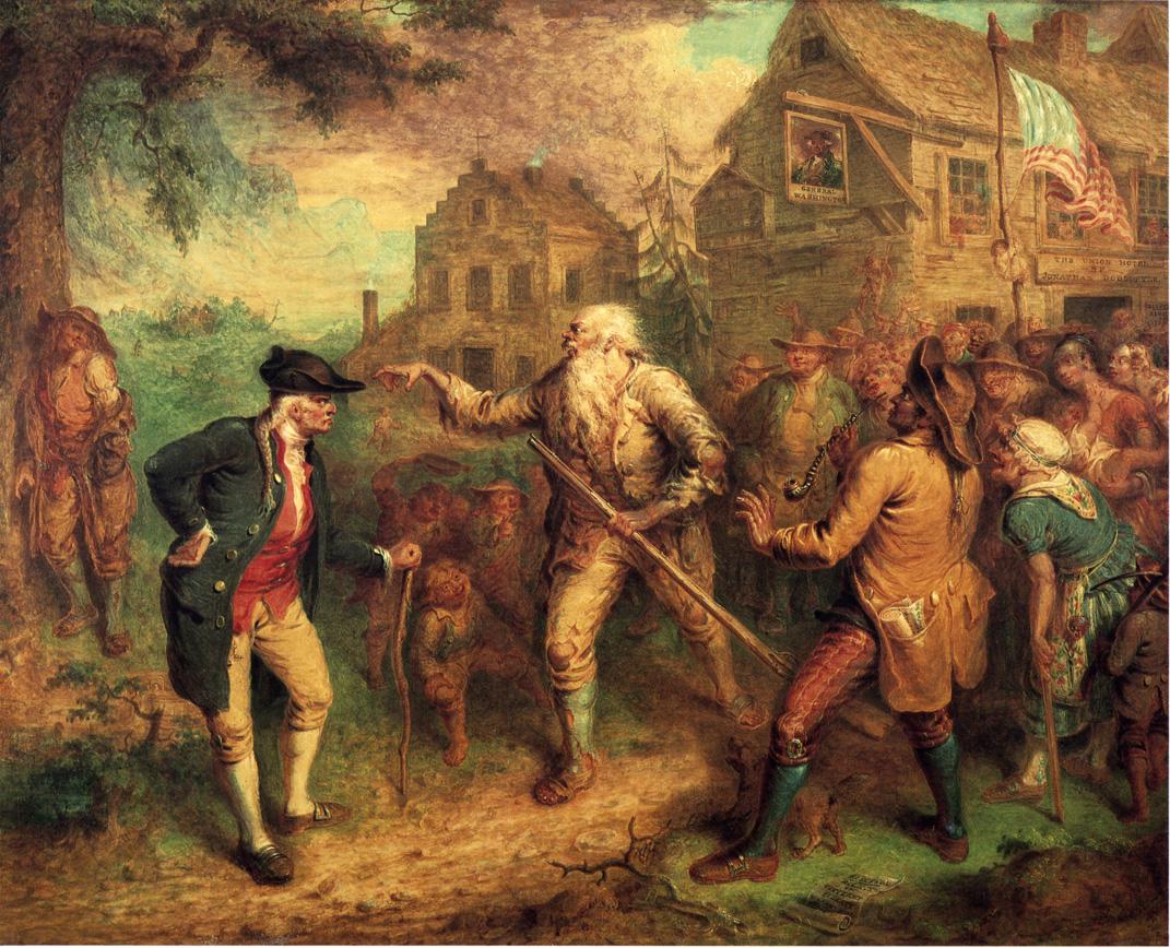
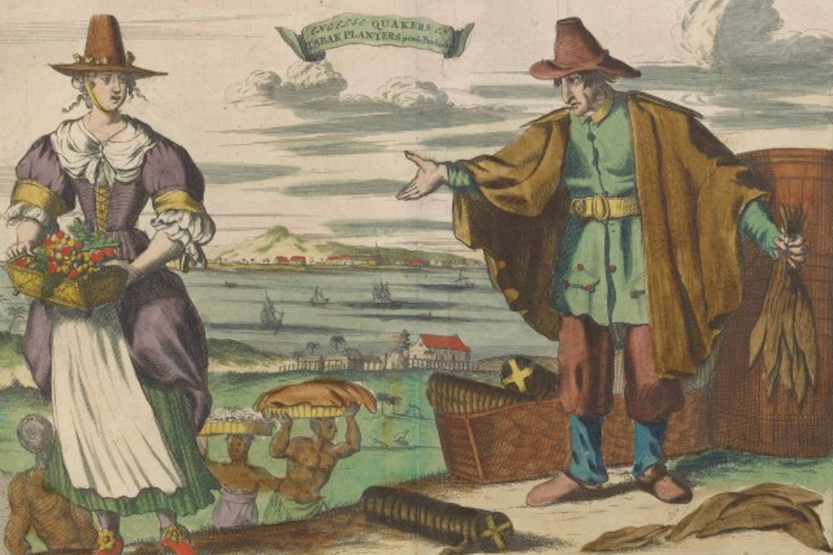
The English explorer Henry Hudson made four voyages between 1607 and 1611 in search of a northern sea passage to Asia. Three of them were on behalf of English trading companies, and on all three of these trips Hudson confined himself to the frozen reaches near the Arctic Circle, failing every time to find a route through the ice that would lead to the tropical climes and exotic goods of Asia. As fate would have it, the one voyage Hudson undertook for a foreign power – the Dutch – would have the most historic results. It was on this trip, in 1609, in the small ship de Halve Maen (The Half Moon) that Hudson, after first heading east, changed course and sailed due west in an effort to find a river highway through the North American continent, and wound up charting the rivers that we know today as the Hudson, the Connecticut and the Delaware. Thus, the area he navigated on that voyage was immediately claimed by the Dutch. The results would be farreaching, leading to the founding of the New Netherland settlement, and giving New York City a character distinctly different from Boston, Philadelphia and other large East Coast cities. On the eleventh of September, 1609, Hudson sailed into what his first mate called “a very good Harbour for all windes,” and then up a river that Hudson hoped might prove to be the route to Asia. The river was, his mate noted, “a mile broad” and “full of fish.” Today we know it as the Hudson River. To the Dutch it was the North River, since it lay to the north of what they called the South River (which we know as the Delaware). Hudson himself named it the Mauritius, after Maurice of Nassau, the Prince of Orange, the highest ranking nobleman in the Netherlands. He made his way north of present-day Albany, where he found the river became too shallow for the ship and so turned around. Hudson realized that he had not found a gateway to the Orient, but he had found a magnificent natural harbor that rarely froze over, a land rich in natural products, and a base for trading for furs with the natives. Beyond that was the North American continent itself, which Europeans would, henceforth, begin to see less as an obstacle between them and Asia and more as a new world to be explored. Without a single road piercing that wilderness, water routes were essential. The Hudson River extended northward to the Mohawk River Valley, which then tended west into the Great Lakes. With the Hudson, therefore, the Dutch controlled the only known route to the west south of the St. Lawrence river, which the French maintained. This natural advantage would give the island at the mouth of the river – Manhattan – a location that would make it the centerpiece of one of the world’s great commercial cities. Photo Gallery via the New York Public Library